Don Barrett (aka DBs travels)'s photos
Burr Trail 273a
| |
|
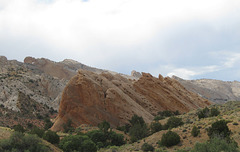
Though you can't tell it from these pictures, there is something about these rocks that reminds me of the creamy orange candies often served around Christmas.
Burr Trail 269a
Zion National Park 316a
Zion National Park 315a
| |
|
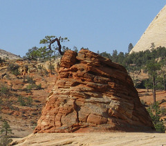
Part of my never-ending fascination with trees that grow out of rocks -- this is on the east entrance road to Zion National Park.
Cedar Breaks / Brian Head 313a
| |
|
From Brian Head (just north of Cedar Breaks) you can see southeast to cliffs around Bryce Canyon National Park (the light colored shadows across the lower center).
Cedar Breaks Bristlecone 296a
| |
|
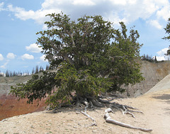
Bristlecone pines are among the oldest living trees, many over 1000 years and the oldest on this point being 1600 years old. They don't tell you which of the trees at the point is 1600 years old, though my guess is that it is the tree in the next picture. Most bristlecone pines that I have seen (in California and at Great Basin National Park) do not have nearly as much greenery as the one in this picture.
Cedar Breaks National Monument 293a
| |
|
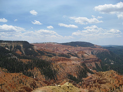
The view that Cedar Breaks National Monument is famous for -- this is from the north rim.
Valley of the Gods 250a
| |
|
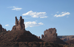
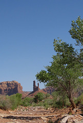
About 20 miles west of Bluff is the Valley of the Gods, which is reachable by a dirt road. The first time I visited them in the 1990's, you could count on driving the 17 mile dirt road and seeing no one. The area is much more well-known now with cars coming through every few minutes on summer days. Solitude is still possible, except when someone in a giant SUV drives through too fast with their windows rolled up and air conditioning on, 'consuming' the landscape rather than experiencing it -- and generating lots of dust and noise.
Blanding, UT 222a
Bluff, UT 221a
Hovenweep National Monument 219a
Hovenweep National Monument 211a
| |
|
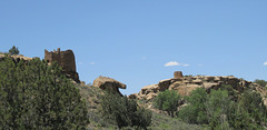
Pictures from the trail around the Square Tower Group at Hovenweep. See nearby picture for more detail.
Hovenweep National Monument 206a
| |
|
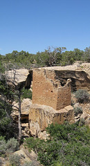
Native American ruins at Hovenweep National Monument in southeast Utah. Though the structures at Hovenweep aren't quite as complex as those at some other sites, the park is more interesting. That's partly because of how the main trail was laid out -- a very comfortable 2 mile hike, mostly on rock, with some trees and shade. Since the structures themselves were smaller, and the area looked more habitable, it was also easier to imagine the area as it might have been at the time of Puebloan settlement in the 13th century.
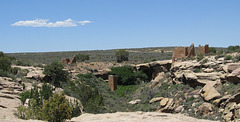
The hike described above is for the Square Tower group, which is nearest the visitor center. The structures there are mainly around a canyon that is about a mile long and not particularly deep. This view is from the where the trail goes down in the canyon, most of the structures are on the canyon edge. Note the oddly formed rock just to the lower left of the center -- that's actually a structure.
Pictures of Hovenweep are of a summer and winter trips.
Halls Crossing, Lake Powell 263a
Halls Crossing, Lake Powell 259a
Halls Crossing, Lake Powell 257a
| |
|
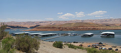
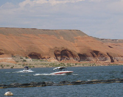
To get from the area around Bluff to the Burr Trail and to head back towards Boulder, you have to cross Lake Powell (Glen Canyon National Recreational Area).
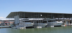
The crossing of Lake Powell is always a source of mixed emotions for me. The ferry crossing itself, and the perspective it gives of the canyon, is rewarding. But it is depressing observing the overall party culture that is associated with the lake, and the consequences of that. Large houseboats and speedboats, exhaust from outboards motors, and the amount of party trash that is likely to end up in the lake, do not exactly reflect a spirit of communing with nature -- and I suspect that many don't realize that they are spilling oil and trash into their drinking water. On the other hand, I respect that even the 'party' type of contact with nature can inspire some concern with nature and balance.
The nearby pictures are only of the Halls Crossing marina area, there are also large marinas on the Bullfrog side (the other end of the ferry trip).
Valley of the Gods 253a
Moki Dugway 247a
Jump to top
- ipernity © 2007-2024
- Help & Contact
|
Club news
|
About ipernity
|
History |
ipernity Club & Prices |
Guide of good conduct
Donate | Group guidelines | Privacy policy | Terms of use | Statutes | In memoria -
Facebook
Twitter

