Watzmann
Folder: Klettersteige
Difficulty A/B
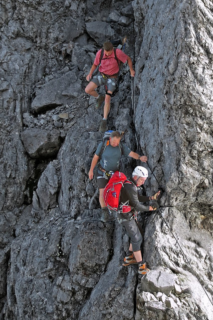
The descent from Hocheck.
(Captured by Anton Wurm, a member of our team.)
~~~~~
Beim Zwischenabstieg vom Hocheck.
~~~~~
The whole descent:
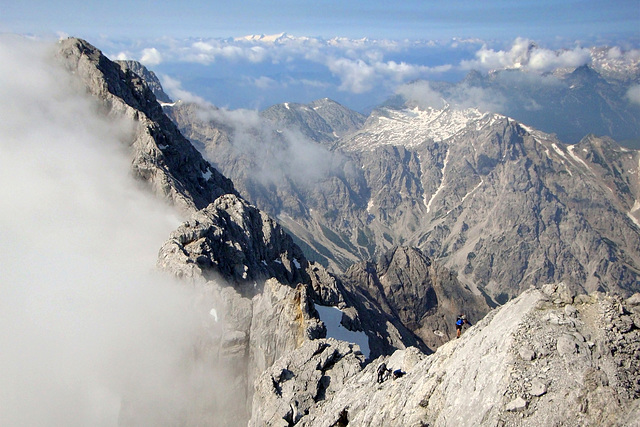
The Ridge
View from the highest point of the Watzmann mountain mass, the Mittelspitze (2.713m) across the ridge to the most southern summit, the Südspitze (2.712m). The distance is approx. 2 kilometers. It will take one and a half hours to cross it, climbing up and down all the time.
~~~~~
Blick vom höchsten Punkt des Watzmannmassivs, der Mittelspitze (2.713m) über den Grat auf die Südspitze (2.712m). Die Entfernung dorthin beträgt etwa 2 km. Man braucht ca. anderthalb Stunden mit viel Auf- und Abkletterei.
13 Jul 2013
9 favorites
7 comments
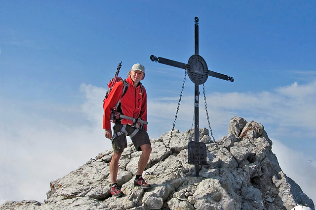
Südspitze of Watzmann
The summit cross of the Watzmann-Südspitze (2.712m), which is the last summit of that mountain mass. Right-hand the descent to the valley begins.
~~~~~
Das Gipfelkruez der Watzmann-Südspitze (2.712m), die der letzte Gipfel dieses Gebirgsmassivs ist. Rechts geht es dann wieder ins Tal runter.
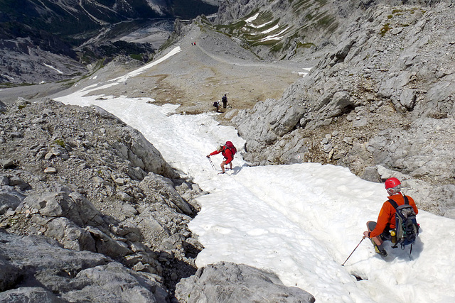
Descent from Watzmann
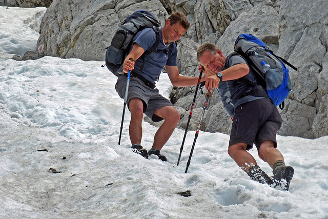
The descent from the southern summit of Watzmann leads through a gorge which is filled with snow until mid of summer. Fewest people achieve to walk down on their feet. Most are slipping sooner or later.
~~~~~
Der Abstieg vom Südgipfel verläuft bis weit in den Sommer hinein durch eine Rinne mit Altschnee. Die wenigsten bleiben hier auf ihren Füßen.
Professionals
Descent from the Watzmann mid of July.
~~~~~
Abstieg vom Watzmann im Juli.
Jump to top
RSS feed- Latest items - Subscribe to the latest items added to this album
- ipernity © 2007-2024
- Help & Contact
|
Club news
|
About ipernity
|
History |
ipernity Club & Prices |
Guide of good conduct
Donate | Group guidelines | Privacy policy | Terms of use | Statutes | In memoria -
Facebook
Twitter

