

Jeff Nicholson's photos with the keyword: Benton
Red Rock Mine 81
| 22 Sep 2013 |
|
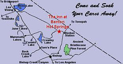
I stayed the third night at the Benton Hot Springs Inn and the owner told me of a different route up the mountain. Turns out the Queens Mine road that I explored last time the Aspen Fire brought me down does actually get you to another trailhead a thousand feet higher up at 9,800. This was finally some first hand info on the trails, and she showed me her photos and maps. Surprisingly, the state of Nevada nor anyone else seems to have published any trail maps for Boundary Peak. I've only read blogs with descriptive anecdotal text. This will save me the grueling 4,200 ft climb from Trail Canyon when I come back next year, in exchange for a 3,200 ft climb with no skree section. So I'm glad I bailed on Trail Canyon (again).
Boundary 07
| 11 Aug 2013 |
|
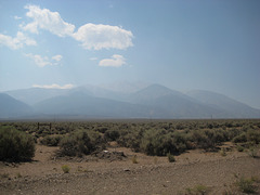
Here's my goal Boundary Peak and you can barely even see it. I'm screwed.
Boundary 06
Boundary 05
| 11 Aug 2013 |
|
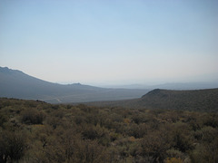
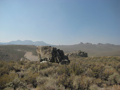
Still very smokey the next day dropping into Adobe Valley and Benton Hot Springs.
Gold Point 55
| 12 Jun 2013 |
|
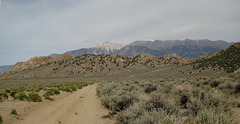
Near the HWY 120 pass above Benton Hot Springs, looking for a campsite. Great views, couldn't find a level clearing out of the high winds.
Bristlecone 50
Bristlecone 49
Bristlecone 48
Bristlecone 47
Bristlecone 46
Bristlecone 45
Bristlecone 44
Bristlecone 43
death valley 2 (05)
death valley 2 (07)
| 01 Mar 2010 |
|
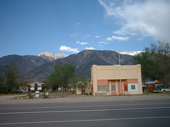
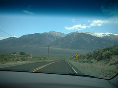
Benton, CA at 120 and HWY 6, where the trek goes north then east into Nevada.
death valley 2 (06)
death valley 2 (04)
Jump to top
RSS feed- Jeff Nicholson's latest photos with "Benton" - Photos
- ipernity © 2007-2026
- Help & Contact
|
Club news
|
About ipernity
|
History |
ipernity Club & Prices |
Guide of good conduct
Donate | Group guidelines | Privacy policy | Terms of use | Statutes | In memoria -
Facebook
X
