

Xata's photos

Euphorbia caput-medusae L1000017
| |
|
|
|

Euphorbia Kamponii L1000014
| |
|
|
|
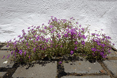
Legousia speculum veneris
| |
|
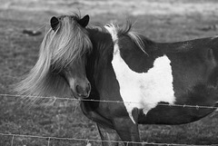
Icelandic Horse, HFF
| |
|
|
|
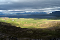
Borgarvirki Fortress, View L1004494
| |
|
|
Borgarvirki - the Citadel is a columnar basalt fortress and a volcanic plug on Vatnsnes peninsula in northwest Iceland. It is 10-15 m high and 177 meters above sea-level. It might have been used as an old Viking fortress, at least some legends claim that it was, but we don't know this for sure.
Source: guidetoiceland.is/connect-with-locals/regina/borgvirki-fortress-in-north-west-iceland

Skútustaðagígar pseudo craters L1004471
| |
|
|
|
Skútustaðagígar pseudo craters were formed by gas explosions when boiling lava flowed over the wetlands. The craters are a popular site for birdwatchers and are protected as a natural wetlands conservation area.
Source: www.northiceland.is/en/other/place/skutustadagigar
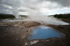
Geysir
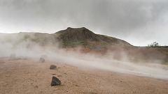
Geysir, Smoking Fumaroles
| |
|
|
|
WITH A CLICK ON THE PHOTO UNDERNEATH YOU CAN GO TO ITS PAGE.
Geysers, fumaroles (also called solfataras), and hot springs are generally found in regions of young volcanic activity. Surface water percolates downward through the rocks below the Earth's surface to high-temperature regions surrounding a magma reservoir, either active or recently solidified but still hot. There the water is heated, becomes less dense, and rises back to the surface along fissures and cracks. Sometimes these features are called "dying volcanoes" because they seem to represent the last stage of volcanic activity as the magma, at depth, cools and hardens.
Fumaroles, which emit mixtures of steam and other gases, are fed by conduits that pass through the water table before reaching the surface of the ground. Hydrogen sulfide (H2S), one of the typical gases issuing from fumaroles, readily oxidizes to sulfuric acid and native sulfur. This accounts for the intense chemical activity and brightly colored rocks in many thermal areas.
Source: pubs.usgs.gov/gip/volc/geysers.html
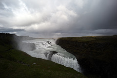
Gullfoss, under heavy rain...
| |
|
|
|
Gullfoss is one of Iceland's water reserves, located in the region of Sudurland, in the south of the country, 100 km from Reykjavik. It has a height of 32 m and a length of 70 m, and transports the water of the Hvítá river, coming from the Langjökull glacier.
Location: Southwest Iceland
Longest drop: 21 m
Average flow rate: 140 m3/s
Total height: 32 m
WITH A CLICK ON THE PHOTOS UNDERNEATH YOU CAN GO TO THEIR PAGE.
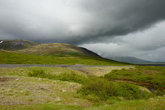
Þingvellir National Park
| |
|
|
|
This was the first visit, the weather was as you can see... we went at first to Silfra which is a rift formed in the divergent tectonic boundary between the North American and Eurasian plates. The weather was so bad and there was so many people that I just took pics of the geese and a church...and Dante tasting lava!
WITH A CLICK ON THE PHOTOS UNDERNEATH YOU CAN GO TO THEIR PAGE.
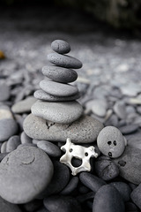
Iceland, Cairn, made for Dante and his new friend.…
| |
|
|
|
Since forever cairns have been made as signposts to help people not to get lost in the fog and snowstorms in the highlands of Iceland. The troll children make pebble mini cairns. The pebbles have been polished by the bulging waves of the rough sea breaking on the beaches of Iceland. When touching them one can feel a strong connection to mother earth.
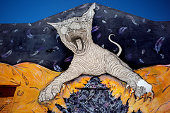
Monte Gordo, Wild Street Art
| |
|
|
|
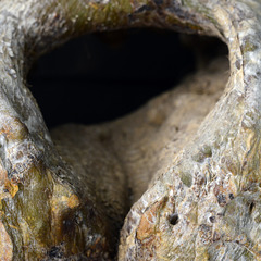
Pachypodium obesum's heart....
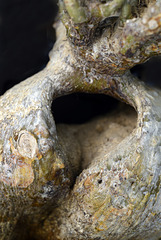
Pachypodium bispinosum's heart....
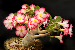
Adenium obesum, Rosa do deserto
| |
|
|
|

The Namafjall geothermal field, Pots
| |
|
|
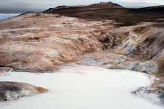
Krafla, Lava fields L1004409
| |
|
|
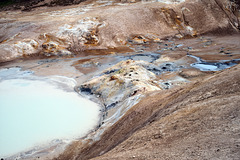
Krafla, Lava fields L1004410
| |
|
|
