Lord Howe Revisited.
Many years ago I visited Lord Howe Island by flying boat (see separate album). It took a long while, but it was time for a return to this idyllic island retreat. :-)
Ocean views
Flying over the Tasman Sea to Lord Howe Island - a World Heritage listed site some 600km off the Australian east coast. We've just returned after a very enjoyable visit. Still unpacking and catching up with the world (no mobile phones or internet there).
Island evening
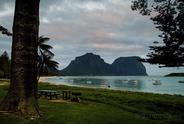
Taken shortly after our arrival at Lord Howe Island. Looking across the lagoon toward the two dominating mountains, Mt Lidgbird (L) and Mt Gower (R). Unfortunately the sunset did not quite develop. Best on black.
Lord Howe peaks
Lord Howe Island sits 600km east of Australia in the Tasman Sea. Some 6.5 million years ago, the island was an active volcano, now these residual peaks dominate the landscape. Mt Lidgbird (L) is 777M and Mt Gower (R) is 875M. Here's a suitable (and slightly different) musical link. Best viewed large. HFF, everyone.
Coming in
More tourists arriving on the daily aircraft (some days there are more). The number of tourists on the island is capped at a maximum of 400. That's the end of the very short runway for the small airport to the left - when I flew there in 1974 (see my album "Flying Boat Days") the runway was incomplete and this was the last flying boat service in the world. This musical link seems to fit. Taken from a kayak. :-)
From Intermediate Hill
You just have to be impressed by the originality of place names like "Intermediate Hill" ! Either way, it's about half way along the island (it's the hill at the left of my previous image) and this is a stitched panorama of the view, covering about 180 degrees and the length of the island. It gives a good view of the lagoon and the coral barrier reef. The island is about 80% covered in natural forest. View large.
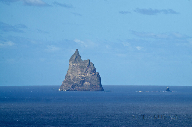
Ball's Pyramid
Sitting some 20km to the SE of Lord Howe Island, Ball's Pyramid rises 561M from the ocean. It is all that remains of an island formed by volcanism about 6.5 million years ago. Discovered in 1788 by Lt Lidgbird Ball (hence the name) it was unclimbed until 1965.
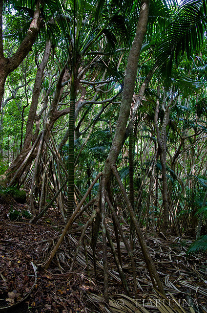
Marching through the forest
In the untouched native forests on Lord Howe Island. Palms and pandanus.
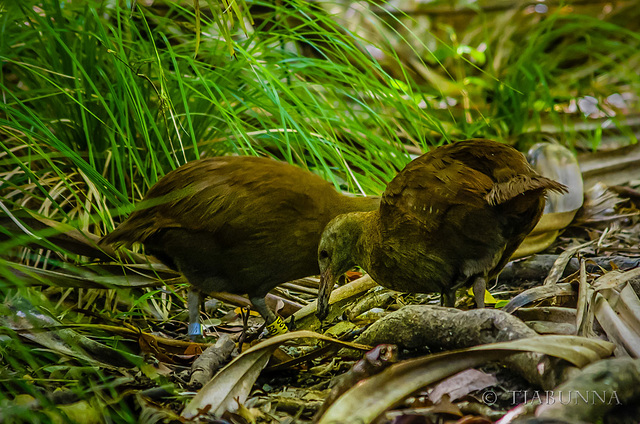
A good news story
There aren't enough good news stories, but this is one. These are Lord Howe Woodhens (Gallirallus sylvestris) . They are classed as "Endangered" because they are endemic to only this island and the total number is only about 400. How can that be good news? Because there were only about 30 in the mid-1970s and 15 by 1980! Since then there was an intensive breeding programme and an ongoing campaign to rid the island of feral species destroying wildlife and habitat: there now are no wild pigs or goats on the island (both introduced as food for passing sailors in the 1800s), all cats also have now been removed, and there is an ongoing programme to eliminate rats. I was delighted to see these deep in the forest, on the walk down from Intermediate Peak - (see also notes).
Down on Ned's Beach
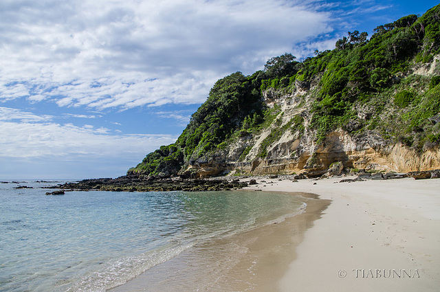
I thought the strata in the sand on the headland were interesting. The water was pleasantly warm to wade in for the fish feeding (next image, also in clickable note).
Jump to top
RSS feed- Latest items - Subscribe to the latest items added to this album
- ipernity © 2007-2025
- Help & Contact
|
Club news
|
About ipernity
|
History |
ipernity Club & Prices |
Guide of good conduct
Donate | Group guidelines | Privacy policy | Terms of use | Statutes | In memoria -
Facebook
X


