tiabunna's photos
The Motorway
For many of you this is commonplace, but I'm a country kid. :) A glitch in my computer prevented me loading this earlier. Looks best viewed large. HFF!
Explored.
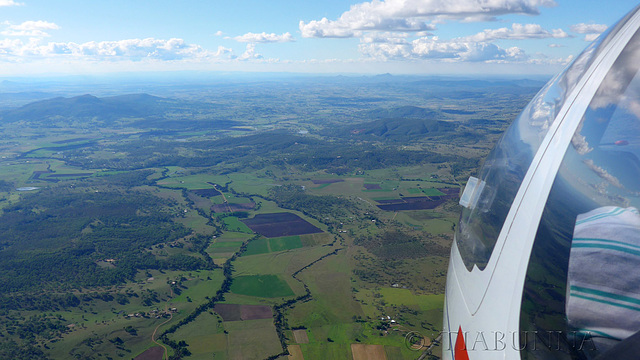
Heading Home
Something of a ' flying selfie', the camera (well attached by a strap) held at arm's length outside the glider while on the return to the airport. View on black.
Explored.
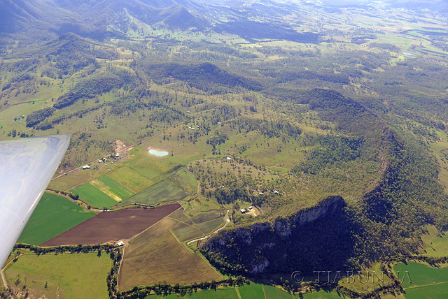
Strange Landform
This unusual landform is possibly best appreciated from above, as in this view from the glider. It goes by the name of Minto Crags and, I understand, is popular with rock climbers. Geologically, it is a formation known as a Ring Dyke (one of the few in Australia). These are formed when underground earth movements create a circular fault line which then is filled by upwelling molten lava. The ring formation becomes apparent when the overlying softer rocks erode away. You can read more about Minto Crags here: www.tinyurl.com/pq8yjyq
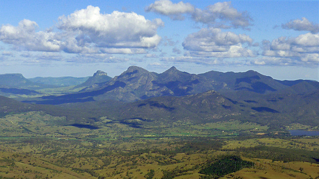
Mt Barney area
Seen from the glider. The flat topped mountain is Mt Lindsay with, to the right of it, the East and West peaks of Mt Barney. This is a fabulous area for bushwalking* where, long long ago, I used to spend enjoyable weekends doing just that. There is a closer view of these peaks in a note.
These mountains are part of what is called the Scenic Rim, an arc of ranges and peaks of volcanic origin, to the south and west of Brisbane. Much of it is National Park. The volcano that created the ranges was a 'shield volcano' that fizzed away 24M years ago. Shield volcanos spread very fluid lava far and wide and, although this one was centred near Mt Barney, that peak developed a little later as a granitic intrusion that never quite broke the surface - the surrounding softer lava and sandstone has eroded away to leave it protruding. Those of you with a geological interest should find this item from the Queensland Geological Society interesting: qld.gsa.org.au/Barneyv5.pdf
* (depending where you are, known as hiking / trekking / tramping). Explored.
Lock Rear Canopy First
Rising on a thermal in the ASK 21 glider near Boonah, after being towed up from the airfield by a Cessna (see rather badly taken inset image).
Explored.
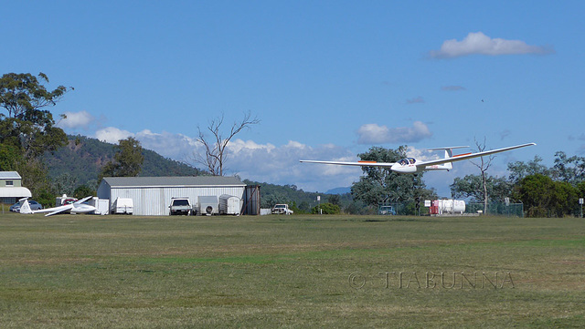
Gliding in
An ASK 21 glider landing at the Boonah aerodrome, to the south west of Brisbane.
Explored.
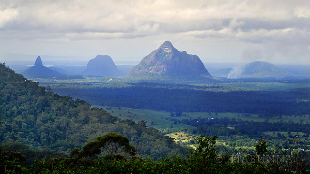
Glasshouse Mountains
From the left, Mt Coonowrin, Mt Tibrogargan and Mt Beerwah. I'm uncertain of the one on the right. Just north of Brisbane, on a rather hazy day. I'd suggest viewing on black.
Explored
Sunset panorama
Better on black?
Explored.
17 May 2014
26 favorites
16 comments
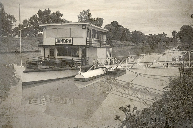
Sidewheeler
The paddle ship "Jandra" offers tourist cruises on the Darling River at Bourke. Built very much in the traditional style of Australian side-wheelers, she is actually quite new. Texture "text_275" by ShadyMedusa-stock at deviantart has added quite a few years. :) Shown for comparison in the note, the "PS Marion" is over a century old. HFF.
Explored.


