Cathedral City Annexation
The 2007 Cathedral City Sphere of Influence Change and Annexation
23 Oct 2009
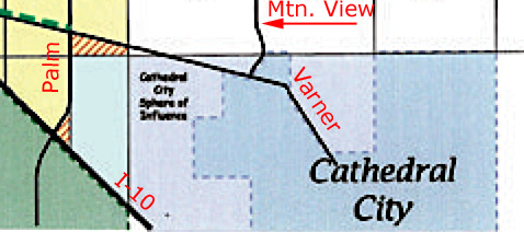
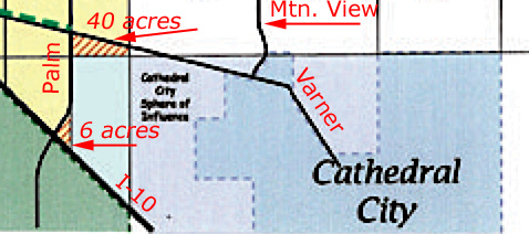
CC Annexation Map detail
Highlighting the two pieces of land taken from the DHS sphere of influence in February 2007 and given to Cathedral City. The area along I-10 is 6 acres. The area at Varner and Palm is 40 acres.
23 Oct 2009
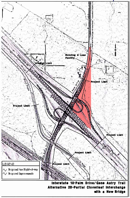
Palm Drive, Gene Autry Trail, I-10 annotated
6 acres highlighted in red that were transferred from the DHS sphere of influence to Cathedral City's. Superimposed on the future interchange.
23 Oct 2009
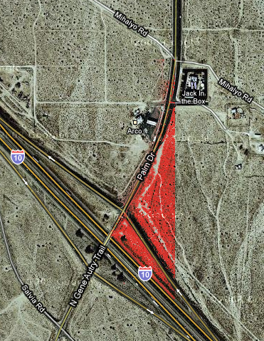
Palm Drive, Gene Autry Trail, I-10 current configuration annotated
6 acres highlighted in red that were transferred from the DHS sphere of influence to Cathedral City's.
23 Oct 2009
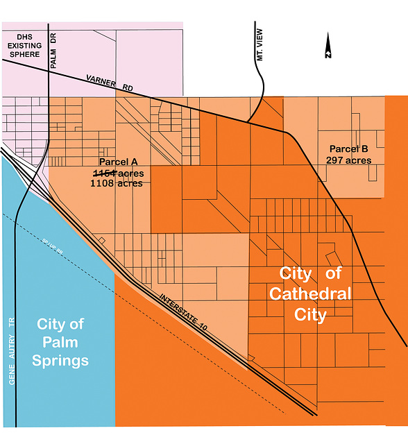
Cathedral City SOI pre-2007
I modified an August 2007 map and changed the acreage figure to show how the spheres of influence stood before February 2007.
Jump to top
RSS feed- Latest items - Subscribe to the latest items added to this album
- ipernity © 2007-2024
- Help & Contact
|
Club news
|
About ipernity
|
History |
ipernity Club & Prices |
Guide of good conduct
Donate | Group guidelines | Privacy policy | Terms of use | Statutes | In memoria -
Facebook
Twitter

