200903BluffRockrail 032
200903BluffRockrail 033
200903BluffRockrail 034
200903BluffRockrail 035
200903BluffRockrail 036
200903BluffRockrail 037
200903BluffRockrail 038
200903BluffRockrail 039
200903BluffRockrail 040
200903BluffRockrail 041
200903BluffRockrail 042
200903BluffRockrail 043
200903BluffRockrail 044
200903BluffRockrail 045
200903BluffRockrail 046
200903BluffRockrail 047
200903BluffRockrail 048
200903BluffRockrail 049
200903BluffRockrail 050
200903BluffRockrail 051
200903BluffRockrailnorth 001
200903BluffRockrailnorth 002
200903BluffRockrailnorth 003
200903BluffRockrail 030
200903BluffRockrail 029
200903BluffRockrail 028
200903BluffRockrail 027
200903BluffRockrail 026
200903BluffRockrail 025
200903BluffRockrail 024
200903BluffRockrail 023
200903BluffRockrail 022
200903BluffRockrail 021
200903BluffRockrail 020
200903BluffRockrail 019
BluffRockrail032009 027
BluffRockrail032009 046
BluffRockrail032009 019
200903Hornsby 013
200903Hornsby 012
200903Hornsby 011
200903Hornsby 010
200903Hornsby 009
200903Hornsby 008
200903Hornsby 007
See also...
Keywords
Authorizations, license
-
Visible by: Everyone -
All rights reserved
-
342 visits
200903BluffRockrail 031


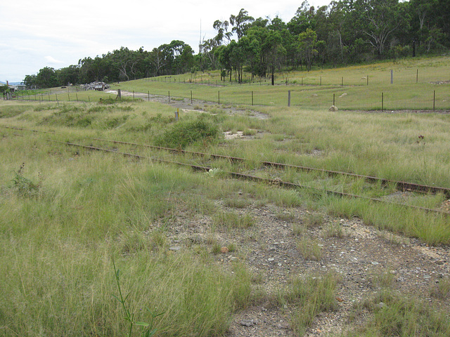
Looking south along the abandoned road at the Down end of the location. The telecommunication cable marker is visible a little left of centre of the photo.
(later) The abandoned road is a former alignment of the New England Highway. See www.ipernity.com/doc/grahamh/24110759/in/album/466689
(later) The abandoned road is a former alignment of the New England Highway. See www.ipernity.com/doc/grahamh/24110759/in/album/466689
- Keyboard shortcuts:
Jump to top
RSS feed- Latest comments - Subscribe to the comment feeds of this photo
- ipernity © 2007-2025
- Help & Contact
|
Club news
|
About ipernity
|
History |
ipernity Club & Prices |
Guide of good conduct
Donate | Group guidelines | Privacy policy | Terms of use | Statutes | In memoria -
Facebook
Twitter

Sign-in to write a comment.