

Berny's photos
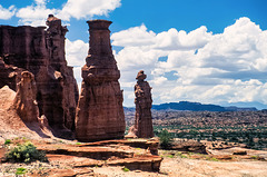
Talampaya Gorge - El Tótem
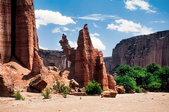
Talampaya Gorge - the camel
| |
|
|
|
While the formation is called "The Camel", it's actually a dromedary ;-)
scanned slide, Minolta X700
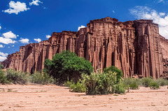
Talampaya Gorge - the wall
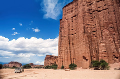
Talampaya Gorge - the wall
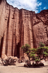
Talampaya Gorge - the wall
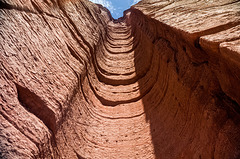
Talampaya Gorge - the wall
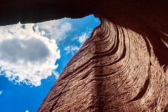
Talampaya Gorge - looking up
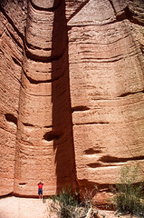
Talampaya Gorge - erosion
| |
|
|
|
This is the view point for the next two images, looking up the erosion slot.
scanned slide, Minolta X700
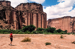
Talampaya Gorge
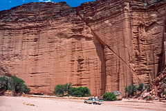
Talampaya Gorge
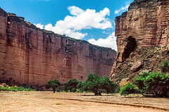
Talampaya Gorge
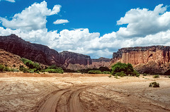
approaching Parque Nacional Talampaya
| |
|
|
|
From Ruta 40 and then 76 a dirt road leads to the National Park "Talampaya". The park is in a basin between the Cerro Los Colorados to the west and the Sierra de Sañagasta to the east. The landscape is the result of erosion by water and wind in a desert climate, with large ranges in temperature - high heat by day and low temperature at night, with torrential rain in summer and strong wind in spring.
Features are: The dry bed of the Talampaya River, where dinosaurs lived millions of years ago; the "Talampaya gorge" and its rock formations with walls up to 143 metres high; the remains of indigenous peoples' settlements; regional fauna, including guanacos, hares, maras, foxes and condors.
scanned slide, Minolta X700
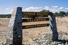
Parque Nacional Talampaya
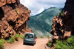
Ruta 40 - Cuesta de Miranda
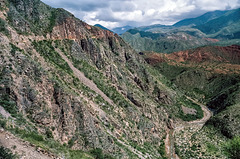
Ruta 40 - Cuesta de Miranda
| |
|
|
|
The mountain road (upper left corner) becomes a little bit scary here, due to the steep slopes to the river valley. - scanned slide, Minolta X700
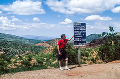
Ruta 40 - Cuesta de Miranda
| |
|
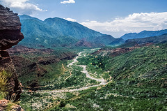
Ruta 40 - Cuesta de Miranda
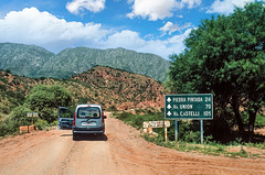
Ruta Nacional 40
| |
|
|
|
From La Rioja we took the Ruta 38 south and Ruta 74 northwest to reach the famous Ruta 40 in Nanogasta again. From there we drove west on the dirt Ruta 40, which is here the mountain road "Cuesta de Miranda" in the valley of Rio Miranda. - scanned slide, Minolta X700
