3-26-17
Folder: unsorted
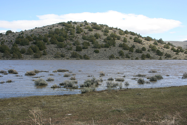
Flooded inner valley
Flooded, II
Looking across the flooded "inner valley," an officially unnamed tectonic basin in the Virginia Range, Nevada. Inset photo, with the basin completely dry, is from November 2012.
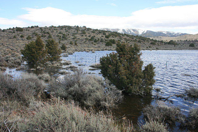
Flooded
Junipers in "Dog Bone Pond" in the Virginia Range, from the extraordinary winter this year. Looking east; the partly snowclad main crest of the range can be seen on the skyline to the right.
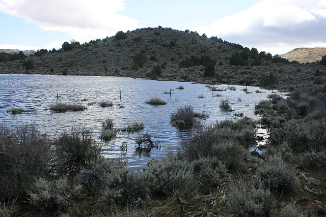
"Dog Bone Pond"
Another small basin in the Virginia Range above our house which we informally call "Dog Bone Pond," due to its shape as seen from above (leftmost inset). Because of the extraordinary winter the basin filled to a level not seen in decades. The flooded bushes in the foreground are sagebrush, and some junipers around the edges were even flooded (left-center inset). The basin was completely dry in June '09 (right-center inset), and held only a little water in February 2010 (rightmost inset). Looking pretty much south.
Jump to top
RSS feed- Latest items - Subscribe to the latest items added to this album
- ipernity © 2007-2025
- Help & Contact
|
Club news
|
About ipernity
|
History |
ipernity Club & Prices |
Guide of good conduct
Donate | Group guidelines | Privacy policy | Terms of use | Statutes | In memoria -
Facebook
X


