GE - Channeled Scabland
Folder: Geology
Left by the Pleistocene floods in eastern Washington state. Only a subset of my pix.
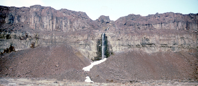
Waterfall into Frenchman Coulee.
With the raising of the water table by the Columbia Basin Project in the mid-20th century, lots of quasi-perennial streams now flow across the basin, and this one finds its way into the coulee.
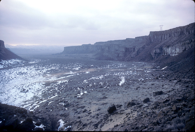
Frenchman Coulee
Looking out the coulee to the southwest on a bleak winter day. Note my vehicle (outlined); in those days you could drive on the jeep roads in the coulee!
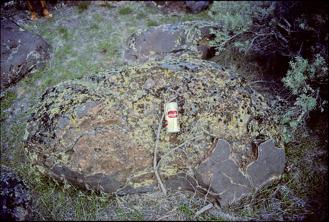
Weathered Boulder
In the outwash debris below Sentinel Gap, somewhere in the Priest Rapids wildlife area. This boulder has lain there for >10^4 years now, and is somewhat worse for wear! Beer can for scale. Note how some of the original surface is preserved at the lower right.
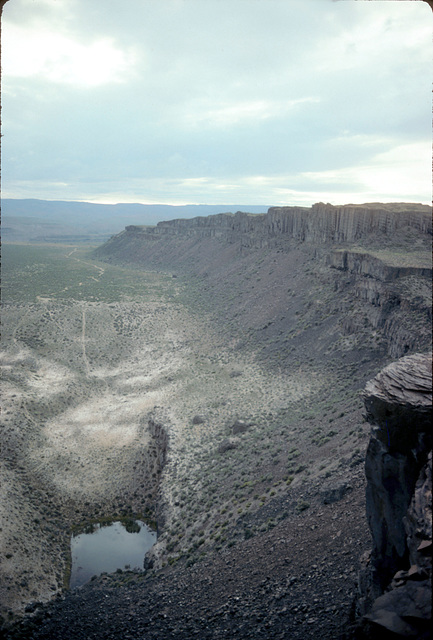
Plunge Pool
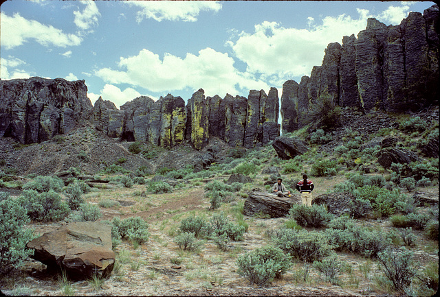
South of the main part of Frenchman Coulee, across the column wall.
Column Wall
Columnar jointing at the base of a Columbia River Basalt flow exhumed by the Scabland floods.
Jump to top
RSS feed- Latest items - Subscribe to the latest items added to this album
- ipernity © 2007-2026
- Help & Contact
|
Club news
|
About ipernity
|
History |
ipernity Club & Prices |
Guide of good conduct
Donate | Group guidelines | Privacy policy | Terms of use | Statutes | In memoria -
Facebook
X


