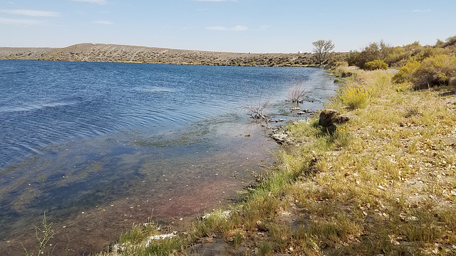
Soda Lakes (9-18-21)
Folder: Atlas Obscura
Although Nevada's geologic history is replete with volcanic activity, evidence of recent historical activity is absent: except for the Soda Lakes craters. They certainly have erupted since Pleistocene Lake Lahontan, as they're cut into Lahontan sediments, and recent evidence suggest they may have erupted within the last 1500 years. The U.S. Geological Survey has therefore added them to its catal…
(read more)
Soda Lake
On the north side. The location is off and apparently the location adjustment no longer exists.
Soda Lake
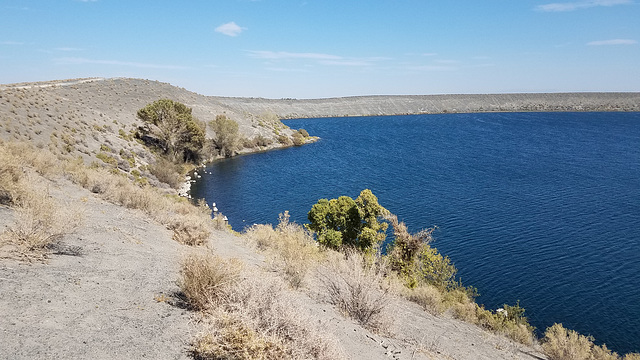
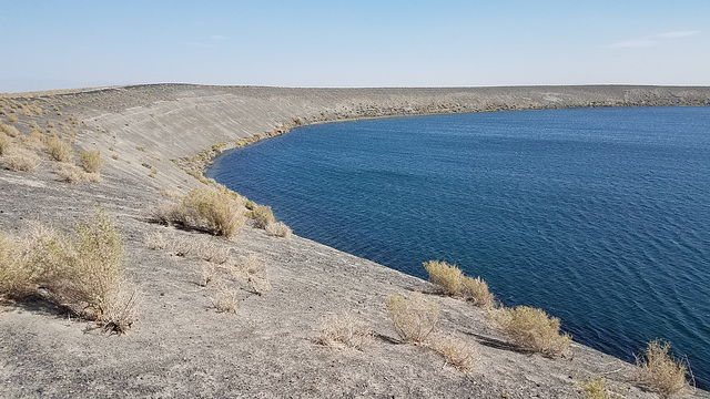
On the north side, looking toward the highest part of the rim to the southeast. Apparently the winds were coming from the southwest during the eruption, because most of the erupted debris ("tephra") piled up to the northeast! Most of the tephra is just sediment that was ejected in the explosion, but it includes some basaltic cinders derived from the magma body. They're the dark particles.
Soda Lake
On the south side, looking toward the high part of the rim to the northeast. Again, the position is off and I can't find how to change it.
Soda Lake
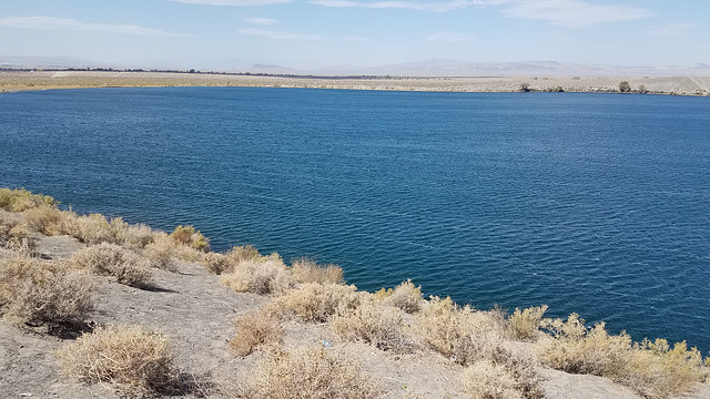
On the south side, where the rim is low to non-existent. Apparently most of the ejected debris was being blown to the northeast. Again, the position is off and I can't change it.
Soda Lake
Near the south side, looking west to the point where the rim is nonexistent! Again, the location is off.
Soda Lake
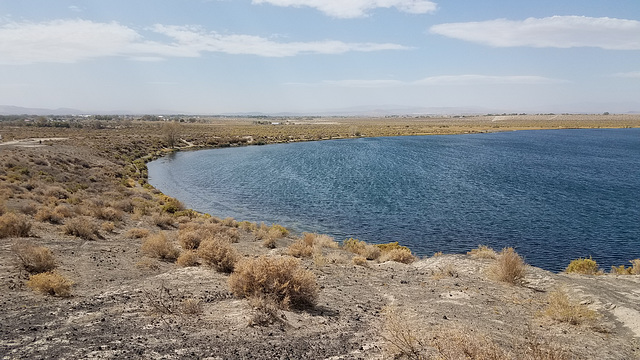
On the southwest edge, where the rim is low to nonexistent.
Soda Lake
On the southwest edge looking back east toward where the rim is higher.
Jump to top
RSS feed- Latest items - Subscribe to the latest items added to this album
- ipernity © 2007-2024
- Help & Contact
|
Club news
|
About ipernity
|
History |
ipernity Club & Prices |
Guide of good conduct
Donate | Group guidelines | Privacy policy | Terms of use | Statutes | In memoria -
Facebook
Twitter

