

slgwv's photos
IMG 9929 adj
| |
|
Sutter Buttes
| |
|
|
|
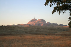
With sunset lighting. The air is hazy from all the wildfires in California last fall. The Sutter Buttes are a set of volcanic hills improbably set out in the middle of the Sacramento Valley. They, alas, are all private land--no routine public access--but evidently there are scheduled hikes on summer weekends.
Bidwell Bar suspension bridge
| |
|
|
|
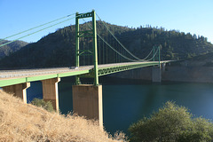
Carrying California SR 162 over the Middle Fork of the Feather River, now swollen into Lake Oroville here after construction of the Oroville Dam in the mid 1960s. It seems like kind of overkill for this secondary road! This bridge replaced an original suspension bridge, dating to 1855, whose site is now inundated under several hundred feet of water. The old bridge is now located elsewhere on Lake Oroville and is open to foot traffic.
I would guess that preserving this thoroughfare was part of the political agreement on building the dam, and _that_ probably accounts for such an expensive bridge.
IMG 7536
| |
|
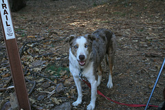
Shiloh
| |
|
|
|
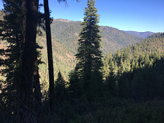
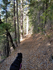
Miss Blue Eyes. On the Pacific Crest Trail near the Middle Fork of the Feather River.
IMG 0405
| |
|
IMG 0402
| |
|
IMG 0401
| |
|
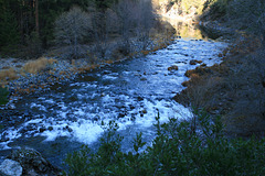
Middle Fork of the Feather River
| |
|
|
|
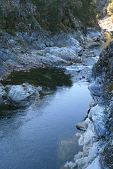
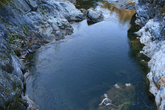
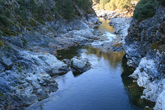
Taken from the steel footbridge (inset) where the Pacific Crest Trail crosses, in the vague northern end of the Sierra Nevada, California. Looking upstream. The Middle Fork is a designated wild & scenic river, so there are no dams or other control structures. River branches named as "forks" of a main stream are found all over western North America. It's supposed to be due to the early trappers, who found it a much more straightforward naming system! The Feather River is a free translation of the original Spanish name, "Río de las Plumas." The original name is preserved in "Plumas County" and "Plumas National Forest."
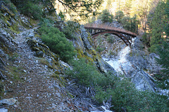
IMG 0397
| |
|

IMG 0393
| |
|
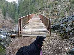
20191124 151142
| |
|
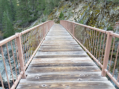
Bridge over the Middle Fork
| |
|
Where the Pacific Crest Trail crosses the Middle Fork of the Feather River, in the northern Sierra Nevada, California. According to the fire maps this bridge was in the middle of the area burned off in the North Complex Fire in the last few weeks, and I don't know if the wooden planks survived.

20191124 132221
| |
|

Bridge over the Middle Fork
| |
|
On the Pacific Crest Trail, where it crosses the Middle Fork of the Feather River in the vague northern part of the Sierra Nevada, California. It's a rather substantial bridge for just a footpath! It's also a ways from the nearest road, so it must have been quite a chore to get the materials in to build it. The Middle Fork is a designated "wild and scenic river," so there are no dams or other control structures.
20191124 130520 001
| |
|
20191124 121946 001
| |
|
20191124 115131
| |
|
