slgwv's photos
Highway
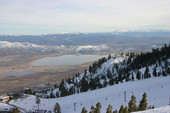
Washoe Lake & Valley
| |
|
|
|
Mt. Rose Ski Area, Reno, Nevada, USA. This is the east side, the so-called "Slide Bowl", which was a separate resort up until (IIRC) the late 80s. The big lake in the valley below is Washoe Lake.
Mill Foundation
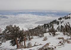
Washoe Lake & Valley
| |
|
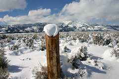
Washoe Valley
| |
|
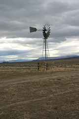
Windmill & clouds
| |
|
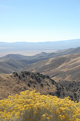
Wildcat Canyon, with rabbitbrush
| |
|
|
|
Seven Troughs range. Looking southeast.
Rabbitbrush ( Chrysothamnus spp.) is one of the dominant shrubs in the high desert, occurring along with sagebrush especially on the mountain slopes. It turns bright yellow in the early fall as it blooms(!), then gets duller as the seeds set and drop off. It's a major forage plant for wildlife in this part of the world. (It also is a major allergen, about like ragweed!)
Photo taken by my son out that side of the car!
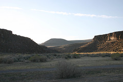
Little High Rock Canyon
| |
|
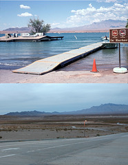
Flood vs. Drought: Overton Beach II, Lake Mead, N…
| |
|
This is a bit to the right of the other photo from Overton Beach. The mountains in the background on the right are the Virgin Mountains, which are just on the Nevada side of the NV-AZ state line. As in the other photo, I had to key off the mountain skyline to match the vantage point, because the only cultural feature remaining is the pavement! The river visible at the right in the 2009 photo (below) is the Virgin River, which flows south out of Utah on its way to join the Colorado. Lake Mead is so low that the river has returned to its channel. The Overton Arm of Lake Mead is the flooded lower valley of the Virgin River, and at high water it extends up to here.
Here's a link to the upper photo alone:
www.ipernity.com/doc/289859/23604899/in/album/453963

Leadville, Nevada, USA
| |
|
|
|
The largest lead-silver producer in Washoe County, according to the Nevada Bureau of Mines & Geology (Bull. 70). Active up into the 1920s, with some very minor activity in 1939-40. Like so many US lead mines, it did really well during WW I !

High Rock Lake
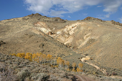
Aspens lost in the desert
| |
|
|
|
Near the site of Leadville, Washoe County, Nevada, USA. You can sure tell where the water is! ;)
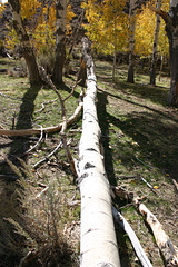
Fallen aspen
| |
|
|
|
Above Leadville, northern Washoe County, Nevada, USA. This is a small group of aspen along a watercourse that actually has a smidgen of surface water.

Aspens & Desert
| |
|

Aspens
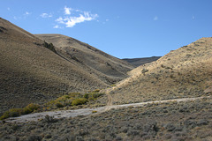
Leadville tailings.
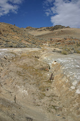
Eroded tailings below Leadville
| |
|
Down Leadville canyon. They didn't worry too much about environmental impact in those days! Washoe County, Nevada, USA. "Tailings" ("tails" for short) are the leftovers _after_ the ore has been processed thru the mill. It's not just any old debris from mining.