

slgwv's photos
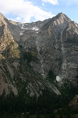
Hanging Valley
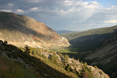
Approach to Tioga Pass
| |
|
|
|
Sierra Nevada, California, USA. Looking east. This is climbing up the eastern side of the Sierra from Lee Vining on the way to Yosemite National Park. The park boundary is at the range crest, still another 5-10 miles from here. This road (California State Route 120) is not kept open in the wintertime; it usually opens around Memorial Day (end of May), but it can be as late as July. The road can be a bit nerve-wracking, especially in a big van full of college students. There are no guardrails--they'd just get swept away in the winter avalanches, and they'd also make plowing the remaining snow harder when they do reopen the road.
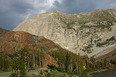
IMG_1492
| |
|
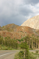
IMG_1491
| |
|
Saddlebag Lake
| |
|
|
|
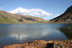
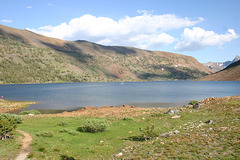
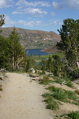
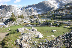
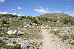
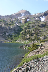
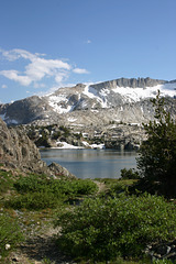
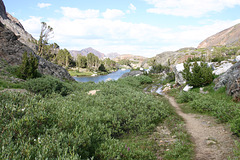
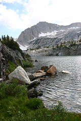
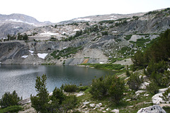
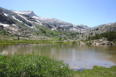
Another SoCalEd reservoir, off the Tioga Pass road (California State Route 120) just east of Yosemite National Park. Looking just east of south. The resort at the south end of the lake runs a water taxi (i.e., boat shuttle) across the lake to this point, so you can get a head start on the hike! It's the jump-off point for what's called 20 Lakes Basin, a popular hiking area in the Hoover Wilderness. Map location, again, is approximate.
IMG_1485
| |
|
IMG_1484
| |
|
IMG_1483
| |
|
IMG_1482
| |
|
IMG_1479
| |
|
IMG_1478
| |
|
IMG_1477
| |
|
IMG_1476
| |
|
IMG_1473
| |
|
IMG_1428
| |
|

IMG_1427
| |
|

IMG_1424
| |
|

20 Lakes Basin
| |
|
