

slgwv's photos
IMG 5409
| |
|
IMG 5408
| |
|
IMG 5407
| |
|
IMG 5406
| |
|
IMG 5405
| |
|
IMG 5404
| |
|
IMG 5403
| |
|

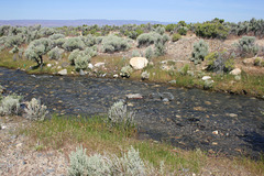
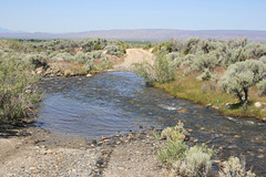
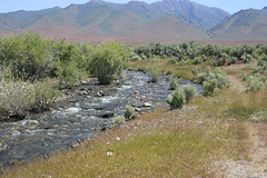
Water!
| |
|
|
|
Horse Creek, flowing westward out of the Santa Rosa Range, in extreme northern Nevada. This drainage was dry when the satellite view was taken.
Flotsam
| |
|
|
|
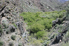
Really. That is driftwood stuck up on the sides of this canyon, from an enormous flood back in the (IIRC) 80s. The water was running 30 feet or so deep thru here--and the speed of the current must have been enormous! Horse Creek Canyon, Santa Rosa Range, Nevada.
Quinn River Valley
| |
|
|
|
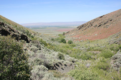
Looking west out the mouth of Horse Creek Canyon in the Santa Rosa Range, extreme northern Nevada. Yes, that's agriculture out there in the middle of the valley, mostly alfalfa from pumped groundwater I would guess. The Quinn River is another landlocked drainage, flowing from southern Oregon into the north end of the Black Rock Desert. Like most "rivers" in this area, it's really just a creek.
IMG 5423
| |
|
IMG 5422
| |
|
IMG 5421
| |
|
IMG 5420
| |
|
IMG 5419
| |
|
IMG 5418
| |
|
IMG 5417
| |
|

IMG 5416
| |
|
