

slgwv's photos
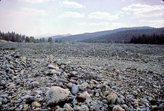
Dredgelands near Sumpter, Oregon
| |
|
Cobble-sized spoil left behind from dredging operations for gold. This had been farmland, and the farmers had sold their mineral rights--without, however, any constraints on how the minerals might be recovered.
I don't think it was a good trade--
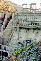
Hell's Canyon Dam
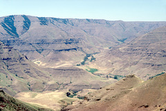
Near Imnaha, Oregon, USA
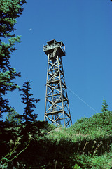
Hat Point Lookout Tower
| |
|
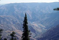
Hell's Canyon from Hat Point
| |
|
|
|
Oregon side, looking toward Idaho. Snake River at the bottom of the canyon. Rush Creek rapids (IIRC) are visible to the right. An underexposed slide from 30 years ago, but it may have some historical value ;) Hell's Canyon, formed by the Snake River, a major tributary of the Columbia, is claimed to be the deepest gorge in North America, deeper than the Grand Canyon. It marks the state line between Oregon (to the west) and Idaho (to the east). In 2003 we took a commercial river trip down the Snake and were able to look back up at this point--no pic, alas!
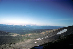
Mt. St. Helens from the flank of Mt. Adams
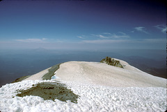
View from Mt. Adams summit
| |
|
|
Washington state, USA. Looking north. Most years a non-technical route to the summit opens up on the south ridge, and that's how we got here! (Almost 30 years ago, gasp...)

2-16-sunset_wildhorse_ig
| |
|
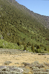
2-18-mtn_slope
| |
|
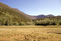
2-06-mdw_view_S_adj
| |
|

2-15-hi_dry_lakebed_adj
| |
|
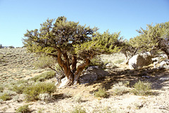
Mountain Mahogany
| |
|
|
|
Cercocarpus spp. Pine Forest Range, in extreme northern Nevada, USA. A very typical shrub/small tree in the higher elevations in the Great Basin. Sometimes they get tall enough to be almost a tree, as here. Often, though, they make absolutely impenetrable thickets!

Pine Forest Range
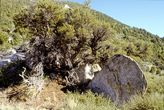
2-12-big_mtn_mahogany_cleaned
| |
|
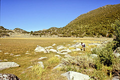
2-10-j&high_lakebed_adj
| |
|
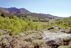
2-09-j_on_trail
| |
|
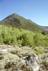
Duffer Peak
| |
|
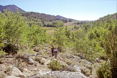
2-07-j&t_on_trail
| |
|
