

slgwv's photos
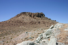
IMG_5581_adj
| |
|
IMG_5579
| |
|
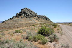
IMG_5577_adj
| |
|
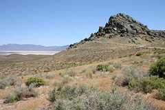
IMG_5576_adj
| |
|
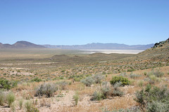
View, Salt Wells Basin
| |
|
|
|
Looking east from the Lahontan Mtns. US 50/Lincoln Highway is barely visible out in that flat. Granite Springs Range on the horizon--site of an underground nuclear test (Project Shoal) in the early 1960s.
IMG_5574_adj
| |
|

IMG_5571_adj
| |
|

IMG_5569_adj
| |
|
IMG_5567_adj
| |
|
IMG_5566_adj
| |
|
IMG_5565_adj
| |
|
IMG_6571
| |
|
IMG_6570
| |
|
IMG_6569
| |
|
IMG_6568
| |
|
IMG_6534
| |
|
IMG_6533
| |
|
IMG_6532
| |
|
