

slgwv's photos
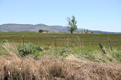
IMG 5436
| |
|
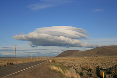
Reconnaissance in force?
| |
|
|
|
Lenticular cloud in south-central Oregon, off State Route 31 south of Summer Lake. Looking east.
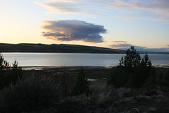
Sunset on Lake Abert
| |
|
|
|
South central Oregon, just off US 395. Lake Abert is another landlocked lake, too saline for fish, whose level is set by a balance between inflow and evaporation. Its main water source is the short Chewaucan River, which rises in the mountains south of here. The lake level is up significantly because of the good water season.
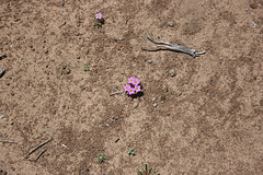
IMG 5427
| |
|
IMG 5426
| |
|
IMG 5425
| |
|
IMG 5424
| |
|
IMG 5423
| |
|
IMG 5422
| |
|
IMG 5421
| |
|
IMG 5420
| |
|
IMG 5419
| |
|
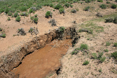
IMG 5418
| |
|
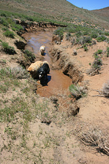
IMG 5417
| |
|

IMG 5416
| |
|
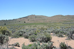
IMG 5414
| |
|
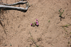
IMG 5413
| |
|
IMG 5411
| |
|
