

slgwv's photos
IMG 7189
| |
|
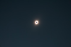
(a poor pic of) The Great American Eclipse of 2017
| |
|
|
|
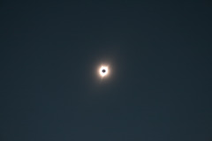
From a friend's front yard in Keizer, Oregon (a suburb of Salem). His house lay right in the path of totality, and he let us park our trailer on his lawn. I didn't realize the corona would overexpose; if I ever get a chance to try another eclipse photo, I'll stop down the exposure a couple of notches.
Anyway, the sight is definitely worth traveling to see. You can understand why the spectacle was a total(!) freakout for people who didn't know what was going on. At the point of totality, when the (dark) lunar disk is outlined by the corona, it looks as though there's a black hole in the sky where the sun's supposed to be.
The insert shows a streetlight across from the house that clicked on during totality. We also saw Venus and Jupiter, but got no pix. There's also a "ring of twilight" all around, from the sky in the distance beyond the Moon's shadow.
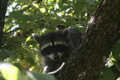
Confused Raccoon
| |
|
|
|
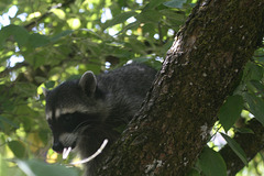
Procyon lotor. This guy suddenly ran out from between the houses after the eclipse and climbed a tree in the front yard. Raccoons _never_ do things like that--i.e., run out in daylight, particularly with a bunch of people standing around--and we figure he got confused by the eclipse. (Hopefully he wasn't rabid, but we kept our distance--this is a telephoto pic.)
I'd've gotten an even better pic, which showed his front paws, except that the battery died when I pushed the button! These animals almost have fingers, and I think I know what the next tool-using species will be if _Homo sap_ goes extinct... ;)
IMG 7204
| |
|
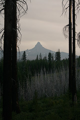
Mt. Washington
| |
|
|
|
Seen looking south from the Santiam Highway (US 20) east of Santiam Pass, in the Oregon Cascades. Mt. Washington is an extinct stratovolcano that's been carved into a horn peak by glaciation. The sky is murky in part due to all the wildfires in the vicinity.
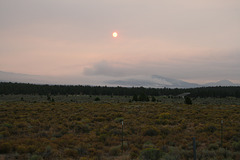
Wildfire!
| |
|
|
|
Looking west off US 20 between Sisters and Bend, Oregon. That orange thing in the upper middle is (yes!) the sun, dimmed by smoke. The large smoke plume right of center trailing off to the left is from one of the active fires, I think on South Sister, a large Cascade stratovolcano. A depressing sight--
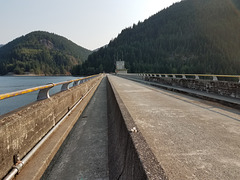
Detroit Dam
| |
|
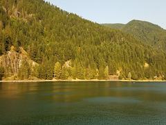
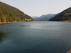
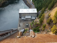
On the North Santiam River in Oregon, a tributary of the Willamette draining from the Cascades. The dam was built in the early 1950s, before blocking salmon streams was an issue! It backs up Detroit Lake. It _does_ generate hydropower; the inset photo looks down at the front of the dam where the penstocks emerge on their way to the powerhouse.
Why "Detroit?" you ask. The original settlers were mostly from Michigan, and they named their settlement after _that_ Detroit. Ironically, the original site is under the reservoir; the modern village was relocated out of the path of the lake.
20170821 172931 001
| |
|
20170821 172404 001
| |
|
Penstocks & powerhouse
20170820 145843 001
| |
|
IMG 1744
| |
|
IMG 1749
| |
|
IMG 7104
| |
|
IMG 7148
| |
|
Upper South Falls
| |
|
|
|
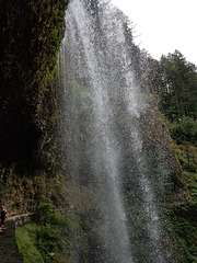
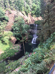
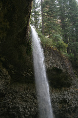
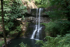
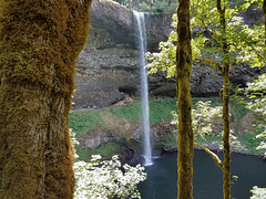
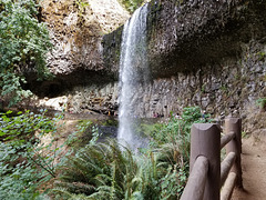
Silver Falls State Park, Oregon. We weren't the only ones waiting for the eclipse; note all the people on the trail behind the falls! Of course, it was a sunny weekend day in the Willamette Valley, so the park would have been crowded in any event.
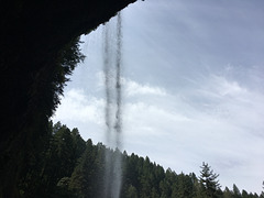
The inset shows this same falls, from a slightly different angle, on a gray day in March, 2008. Two things are immediately apparent: (1) the much higher volume of flow; and (2) the absence of people!
20170820 145707 001
| |
|
Thistledown
| |
|
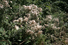
From thistles (invader weeds!) at Willamette Mission State Park, Oregon. It's fluffier than the plant itself, at any rate--
