

slgwv's photos
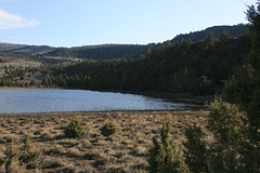
Unnamed II
| |
|
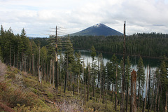
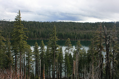
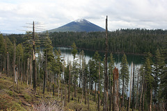
Ephemeral lake filling a normally dry basin right on Oregon SR 31. The lake is due to the extraordinary water year! Looking south; the road visible here and there in the trees goes to Fremont Point.
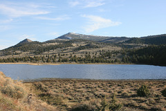
Unnamed
| |
|
|
|
A normally dry basin in eastern Oregon, actually crossed by Oregon SR 31 (left inset). Fremont Point is the high point on the skyline, just left of center. The basin was a lake in 2017 because of the extraordinary water year. The inset on the right shows a view a bit more to the right. Looking south.

IMG 4875
| |
|

IMG 4873 rot
| |
|

IMG 4871
| |
|

IMG 4870
| |
|

IMG 4869
| |
|
IMG 4868
| |
|
IMG 4867
| |
|
IMG 4866
| |
|
IMG 4865
| |
|
IMG 4863
| |
|
IMG 4857
| |
|
IMG 4854
| |
|
IMG 4850
| |
|
IMG 4849
| |
|
IMG 4847
| |
|
IMG 4845
| |
|
