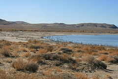
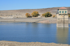
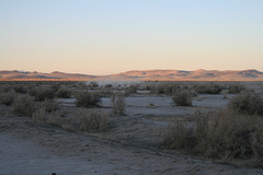
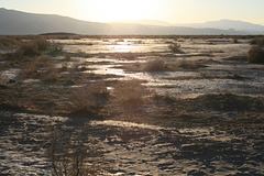
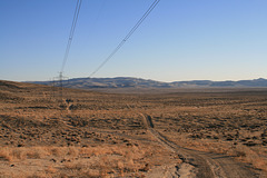
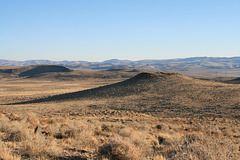
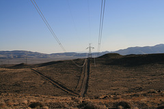
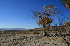
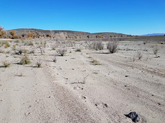
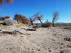
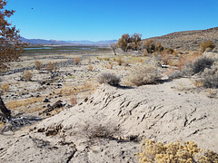
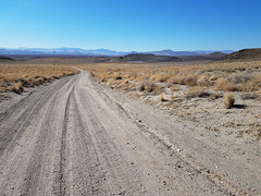
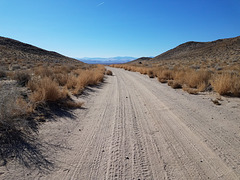
Looking south, dropping out of the improbably named Dead Camel Mountains. The flat beyond is called Churchill Valley (from Civil-War era Ft. Churchill on the western side), and is part of the bed of Pleistocene Lake Lahontan, an enormous Ice-Age lake that filled many of the valleys in western Nevada. Shorelines from Lake Lahontan are locally prominent in the satellite view. The enclosing photo is taken on the flat beyond the low ridge in the middle distance. The powerline is the Pacific DC Intertie, which connects the Bonneville power grid on the Columbia River to L.A. Wikipedia claims a maximum capacity for this line of 3.1 gigawatts, and it accounts for just less than half of the Los Angeles Dept. of Water and Power's capacity. Hooten Wells is at the base of the hills on the skyline and was a watering stop on the Pony Express. It now consists of a stock tank (right inset in enclosing photo).
The Dead Camel Mountains were named for feral camels, the wild offsping of some camels originally imported as an experiment in animal transportation in the 1850s. They didn't work out--horses _hated_ them--and were eventually released. The odd wild camel sighting allegedly continued into the early 20th century. Btw, the impetus for their importation was none other than Jefferson Davis, then US Secretary of War, but later much better known as the President of the Confederate States of America.