

slgwv's photos
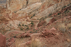
Burr Trail
| |
|
|
|
Another view of the switchbacks.
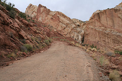
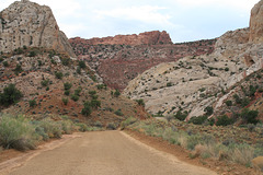
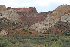
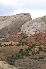
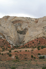
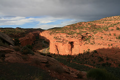
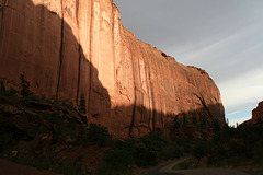
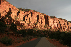
A road following a steep canyon thru the Waterpocket Fold, a monocline that forms the prominent landforms in Capitol Reef National Park, Utah. A monocline is a structure in which one side has been downdropped with respect to the other, with the overlying strata folded downward accordingly. Usually they reflect high-angle faults in the subsurface. The prominent light-colored sandstone making the big cliffs and rounded domes is the Navajo Sandstone of Triassic-Jurassic age, a widespread stratigraphic unit in this part of the Colorado Plateau.
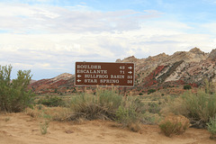
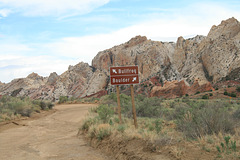
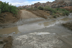
The Burr Trail comes up this canyon in a set of steep switchbacks. It is named for John Atlantic Burr, who built the original trail in the 1880s for cattle(!) drives. The modern trail is graded and in good weather is (more or less) passable to ordinary passenger cars, but it gets washed out enough--particularly in monsoon season, as now!--that high clearance and 4wd are advisable. I crossed a flooded section of road getting to this point. The inset shows another view of the switchbacks.

IMG 2585
| |
|
IMG 2584
| |
|
IMG 2580
| |
|
IMG 2573
| |
|
IMG 2572
| |
|
IMG 2570
| |
|
IMG 2567
| |
|

IMG 2565
| |
|
IMG 2563
| |
|
IMG 2561
| |
|
Rain over Fish Lake
Fish Lake
| |
|
|
|
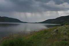
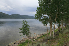
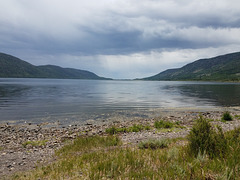
Another one of those generic names! This Fish Lake is a natural high alpine lake (elevation ~8500 ft, 2700 m) in central Utah. It fills the low part of a fault-bounded valley; i.e., a graben. The monsoon rains were in fine form! Looking (more or less) south. The inset shows a slightly different view.
IMG 2632
| |
|
IMG 2630
| |
|
IMG 2628
| |
|
IMG 2626
| |
|
20180724 142815 001
| |
|
