

slgwv's photos
IMG 8055 adj
| |
|
IMG 8054 adj
| |
|
IMG 8053 adj
| |
|
IMG 8046 adj
| |
|
20190617 183505 001
| |
|
20190617 183459 001
| |
|
20190617 183428
| |
|
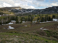
The High Plateaus
| |
|
|
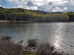
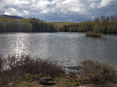
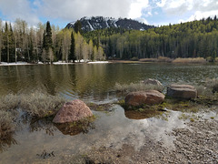
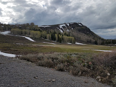
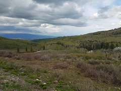
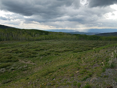
Of west-central Utah. The elevation at the skyline is around 11K ft/3350 m. That's why the forest, and why the snow is lingering into late June! View south off the Gooseberry-Fishlake scenic byway. I was blocked by snow a bit farther up the road (left inset), just below the pass that crosses that high ridge! This is another little-known part of Utah that isn't beset by the tourist throngs.
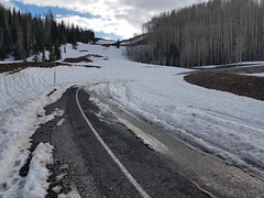
End of the Line (for now, anyway!)
| |
|
In the high plateaus of west-central Utah late spring last year--2019 was a good water year. Even with my 4x4 I thought it prudent to retreat! It was late and I was by myself. The elevation here is about 10,200 ft/3109 m. The main pass ahead, where the road crosses, is about 11K ft/3350 m.
20190617 181805 001
| |
|
20190617 180615 001
| |
|
20190617 175927 001
| |
|
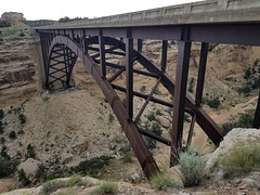
20190617 163251 001
| |
|
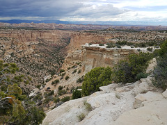
20190617 161929 001
| |
|
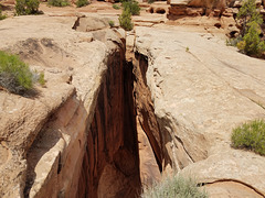
Gap between the arches
| |
|
West Gemini Bridge on the left; East Gemini Bridge on the right. The Gemini Bridges are a twinned set of arches on BLM land near Moab, Utah. Alas, there have been a number of Darwin Awards due to idiots attempting to jump between the arches. See enclosing photo for more information.
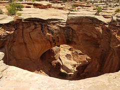
West Gemini Bridge
| |
|
|
|
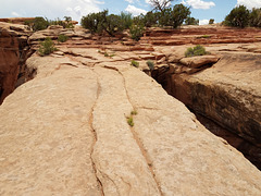
Looking east; the other (east) bridge is hidden behind this one. The Gemini Bridges are a twinned set of arches on BLM (Bureau of Land Management) land near Moab, Utah, accessed by a rough dirt road (high clearance mandatory and 4WD desirable!) Because they're not in a national park, the regulations aren't so stringent, and not only is it perfectly safe to stand on the arches, it's perfectly legal (left inset). I would have liked to get a picture standing on the arch from here, but I was by myself and my remote release isn't _nearly_ long enough ;) I suppose if I'd had a radio-controlled one-- The middle inset shows the overhanging ledge I'm standing on to get this picture, and the right inset shows the gap between the arches. I don't have a picture like this of the east arch because it would require being on the far side of the canyon, and I had no time for such a sidetrip! The arches are in the Jurassic Wingate Sandstone, according to Doelling et al.'s map (Utah Geological Survey, Map 155, 1994).
Unfortunately, there have been a number of Darwin Awards from idiots attempting to jump between the arches.
20190617 132112 001
| |
|

20190617 132020 001
| |
|
