

RHH's photos
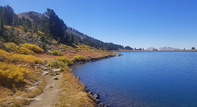

Middle Gaylor Lake
The second day of our stay in Yosemite we drove from our Crane Flat campground to the Tuolumne Meadows Vistors' Center and asked about hiking in the area. The ranger to whom we spoke suggested the Gaylor Lakes Trail further to the east. We spent a good part of the day hiking that trail first to Middle Gaylor Lake, shown in the photo, then to Upper Gaylor Lake and finally to the site of the Great Sierra Silver Mine in the mountains beyond the lakes.

Penstemon newberryi
Photographed near Olmstead point in Yosemite National Park, this is Penstemon newberryi.
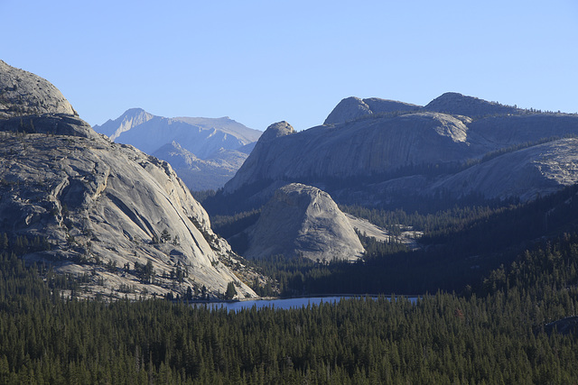
Tenaya Lake from Olmstead Point
This was the view of from Olmstead Point on the Tioga Pass Road in Yosemite the second morning of our stay in the park. We had gotten an early start and had stopped at Olmstead Point for photography and breakfast. The point is named for the American architect, Frederick Olmstead, who was involved in making Yosemite a national park. The lake is Tenaya Lake and the dome beyond it is Pywiack Dome. We would go on from Olmstead Point to do some hiking along the Gaylor Lakes Trail.
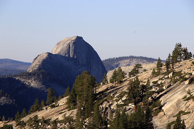
Half Dome from Olmstead Point
The second morning of our visit to Yosemite we had an early start and drove east on the Tioga Pass Road in the north part of the park. We would spend the rest of our stay in this part of the part since the valley was so busy. We stopped at Olmstead Point, named for the American architect, Frederick Olmstead, and had our breakfast there while doing some photography and enjoying the view. The view in the photo is of Half Dome, but from the north, not the place from which people usually see it.
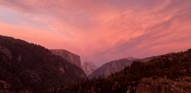
Half Dome View
Taken from the Half Dome View turnoff on the Big Oak Flat Road on our way to our evening campsite at Crane Flat in Yosemite National Park.

Yosemite Sunset
On our way to our camp site at Crane Flat our first evening in Yosemite National Park, we stopped at Half Dome View to watch the sunset and this was the view to the northwest.
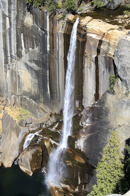
Nevada Falls
This is Nevada Falls in Yosemite National Park. The first day of our recent visit to Yosemite we hiked the John Muir Trail to Vernal and Nevada Falls, a round trip of about eight miles and quite a strenuous hike.
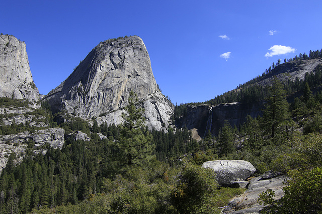
Liberty Cap and Nevada Falls
While in Yosemite Valley, the first day of our visit to the park, we hiked the John Muir Trail to Nevada Falls, visible on the right side of the photo. The trail was about eight miles round trip and quite strenuous, especially since we had not done any hiking for a while.

Three Brothers
Taken along the main road in Yosemite National Park, the peaks in the photo are the Three Brothers. We were on our way to the trailhead for Mist and Nevada Falls and stopped here to take some photos.
