xacobeo4's favorite photos
45 favorites
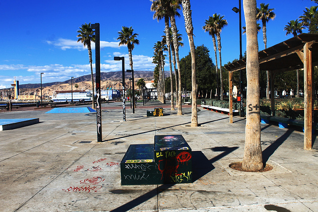
Au parc du port d'Almeria en Espagne.
HBM et agréable semaine clémente.
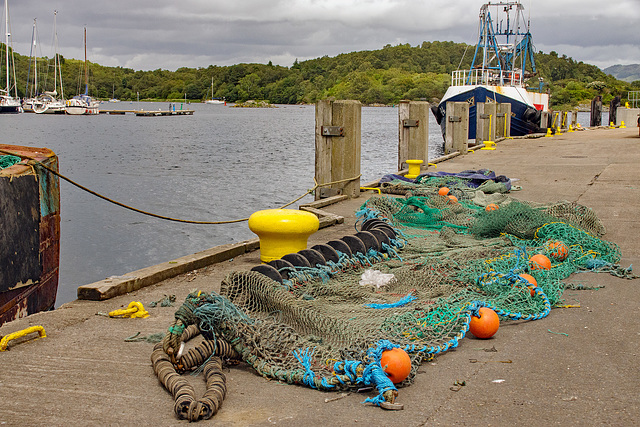
Net of many colours
On the quay at Tarbert,
Large please
Music link www.youtube.com/watch?v=rTVjnBo96Ug&list=RDrTVjnBo96Ug
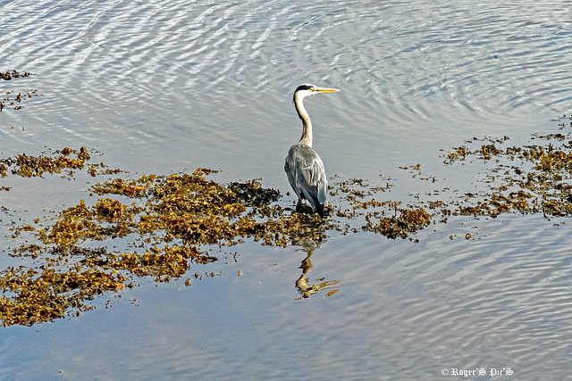
Look over there !
Grey Heron on the look out in Tarbert marina,
It's slightly noisy but it was captured on full zoom in very bright light.
Try it large for full detail.
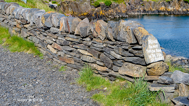
Dont Throw Rocks
Ellenabeich is a small village on the isle of Seil – an island on the east side of the Firth of Lorn, It is a former slate-mining village and is where parts of Ring of Bright Water were filmed. Seil is one of the Slate Islands. It is also the departure point for the small Passenger ferry to nearby Easdale which is another of the Slate Islands, The Quarry referred to on the stone is the flooded slate quarry behind the wall.
Shot in 16.9 so a large view may be better, HWW !
For anyone who has the time or the interest I have added a link to the Slate Islands, www.southernhebrides.com/slate-islands-roofed-the-world
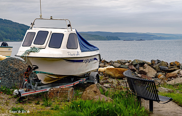
Bench at a working Harbour
Seating more likely used by the fishing community than by visitors,
This is Carradale Harbour on the East Coast of Kintyre, With the herring industry thriving, the first pier was built in 1858.
However, the fishing here now is mainly shellfish. But through the haze and in the distance the tanks of a Kilbrannan Sound fish farm can be seen.
HBM and a good week to all !
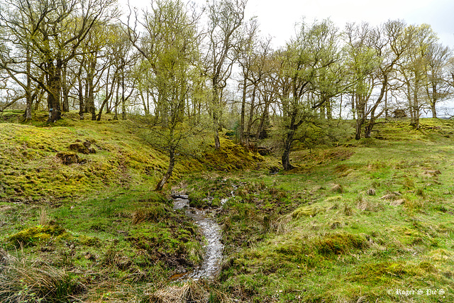
Fairy Glade.
A bright day in mid-May with thin cloud cover and strong but patchy sunlight,
The fast flowing watercourse is tumbling down to a culvert which will carry under Duke's Pass and into Loch Achrey
A large view for the detail please !
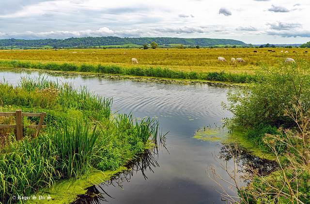
King Sedgemoor, (1 Note)
Boundary Rhine runs parallel with the King Sedgemoor Drain, although controlled by sluices water from the Rhyne is allowed to flow into the drain at a number of places, this shot is of the outfall at Greylake on King's Sedgemoor.
The Somerset Levels have an area of about 160,000 acres (650 km2) and are bisected by the Polden Hills; the areas to the south are drained by the River Parrett, and the areas to the north by the rivers Axe and Brue. The Mendip Hills separate the Somerset Levels from the North Somerset Levels. The Somerset Levels consist of marine clay "levels" along the coast and inland peat-based "moors"; agriculturally, about 70 per cent is used as grassland and the rest is arable. Willow and teazel are grown commercially and peat is extracted. (Wikipedia)
To give an idea of the drainage system on the levels I have added a previously posted screen grab from openstreemap,
Large view perhaps,,,,,,,,,,,, Wish you all a nice Friday and a good weekend
51 favorites
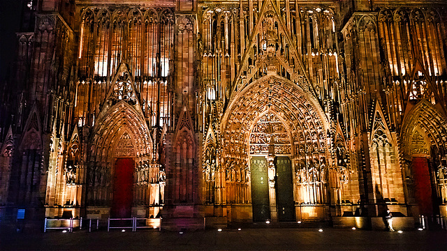
Cathédrale de Strasbourg.
www.cathedrale-strasbourg.fr/horloge-astronomique
54 favorites
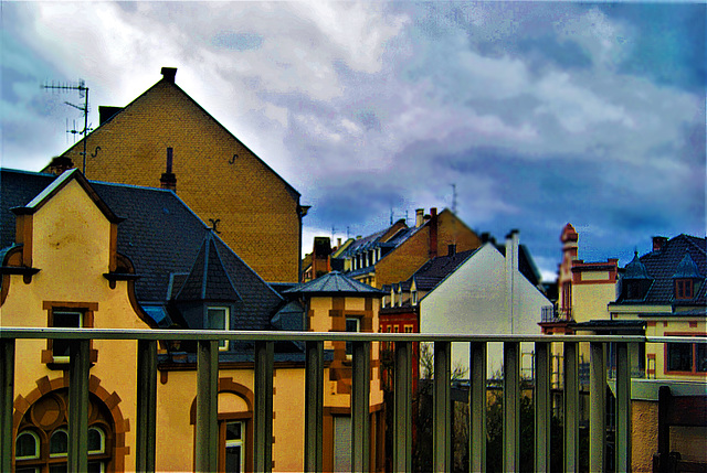
Quartier de Strasbourg en fin de soirée.
HFF et agréable fin de semaine clémente et salutaire.
Jump to top
RSS feed- Latest favorites - Subscribe to the favorite docs of xacobeo4
- ipernity © 2007-2024
- Help & Contact
|
Club news
|
About ipernity
|
History |
ipernity Club & Prices |
Guide of good conduct
Donate | Group guidelines | Privacy policy | Terms of use | Statutes | In memoria -
Facebook
Twitter

