With...
Location
See also...
Keywords
Authorizations, license
-
Visible by: Everyone -
All rights reserved
-
605 visits
Let's do the time warp....


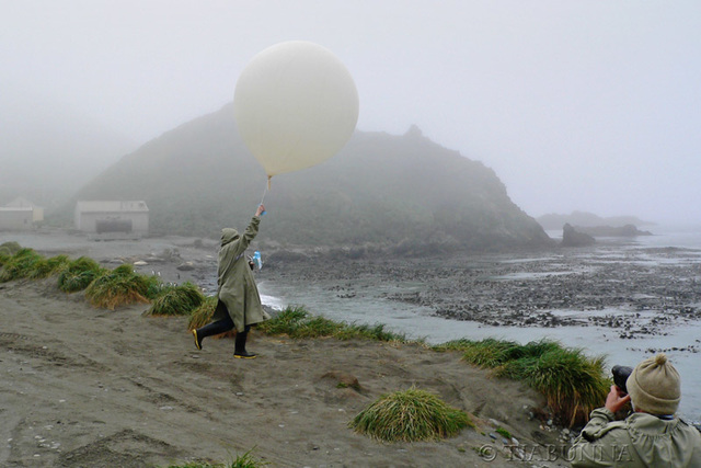
Excuse me while I use this balloon launch to also launch into reminiscence.
The Met. Office staff treated me as a VIP visitor and gave me a great personal tour of the office, new equipment and the station itself (visiting areas that tourists don't normally reach).
This balloon launch shows how technology has moved ahead in the 37 years since my term on the island. The inset note shows how it was done in the "old days", with a giant radar reflector. No need for that now, the radiosonde contains a GPS which sends back the height and position. Intstead of two people frantically calculating results for temperatures and wind, that is now done with a computer. So the sequence becomes launch, then return indoors for a coffee. The other change I really noted was the far greater emphasis on safety - we didn't think about protective gear!
Christina Sonnenschein, , , have particularly liked this photo
- Keyboard shortcuts:
Jump to top
RSS feed- Latest comments - Subscribe to the comment feeds of this photo
- ipernity © 2007-2024
- Help & Contact
|
Club news
|
About ipernity
|
History |
ipernity Club & Prices |
Guide of good conduct
Donate | Group guidelines | Privacy policy | Terms of use | Statutes | In memoria -
Facebook
Twitter

Hi Again George. Well done very interesting info. Hugs Tess
tiabunna club has replied to Treasa Ui CionaodhaSign-in to write a comment.