Somerset
Folder: England
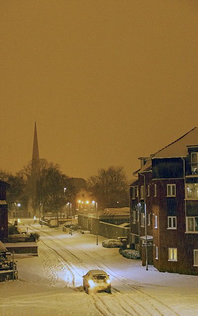
Urban Snowstorm
The spire of St Mary's Church in blizzard like conditions.
The spire, which was built in 1367, is 114 feet 7.5 inches (34.938 m) high and sits on top of the 64 feet (20 m) tower. (wiki)
Possibly view large.
A link for the Sight and Sound Group www.youtube.com/watch?v=b4bWQsnI8Y0
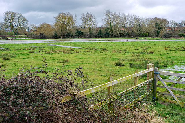
The Dreaming Fields, HFF
An area known as The Meads, A 42 acre flood plain that divides the western area of town, In summer it's a haven for wildlife, dog walkers, children and courting couples it is now protected as an Eco park.
Many a dream has formed within within these fields so my link for the Sight and Sound Group www.youtube.com/watch?v=FCcO2OT3ykA
Since uploading this image the area has almost completely flooded due to the heavy rain of the past few days and the run off from the surrounding hills
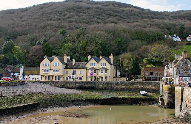
Winter and Low Tide
The Ship Inn on the left and the Anchor Hotel from across the inner harbour entrance at Porlock Weir on the Somerset Coast.
Large for detail,,
Link for Sight and Sound is by Somer Set by Somerset Born Acker Bilk www.youtube.com/watch?v=pALOWhp8G4k
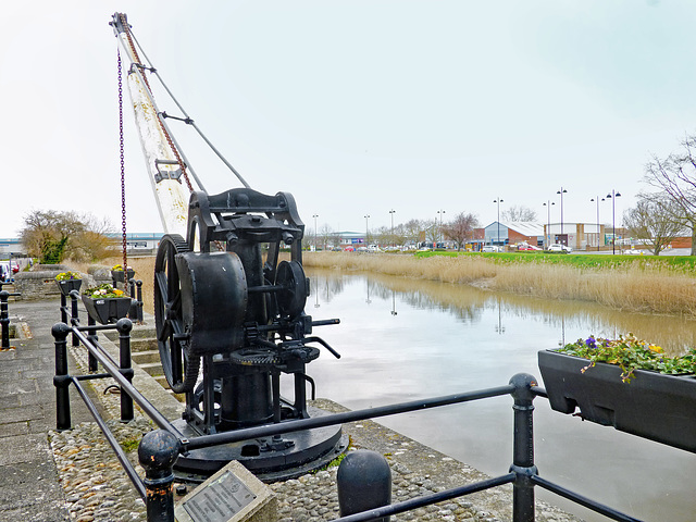
Hand Crane HFF
A hand powered crane used to load and unload ships berthed on the tidal quays, The River Parrett was navigable, with care, by 400-to-500-tonne (390-to-490-long-ton) vessels.
High tides occur every 12 hours therefore the link for Sight and Sound is the slightly risky "Twice Daily" by Somerset's own Adge Cutler and the Wurzels from 1966, www.youtube.com/watch?v=jYaBsLcnoz0 ,
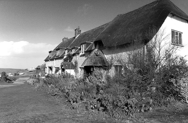
On the Shoreline
These beautiful old shoreline cottages from a different viewpoint and hopefully with a retro look,
Try large please.
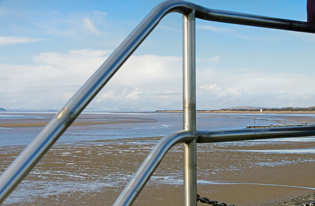
Bridgwater Bay HFF
The River Parrett snaking it's way across Bridgwater Bay and out to the Bristol Channel, Burnham on Sea lower lighthouse is on the right,
The snow covered high ground beyond the sea is the coast of South Wales so my link for the Sight and Sound Group is a fabulous version by The Wets of www.youtube.com/watch?v=LZXjpyrv2so
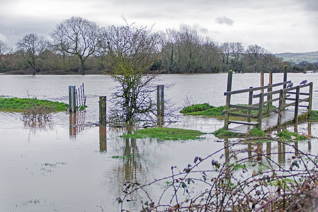
The Rains Came, HFF
They are neither fields or Eco park at the moment even the pigeons look dejected, one of the many times the area has flooded this year, our local council intends to spend a £140.000 installing paths and benches in the area, hope it's all waterproof and fixed down.
Link for Sight and Sound goes way back to my youth www.youtube.com/watch?v=7K7uYKaybTs
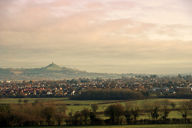
The Mystic Avalon
Glastonbury Tor stands tall through the mist and haze of an early winter morning,What is now known as Glastonbury was, in ancient times, called the Isle of Avalon. It was virtually an island, for it was completely surrounded by marshlands,
.Avalon is a legendary island featured in the Arthurian legend. It first appears in Geoffrey of Monmouth's 1136 pseudo-historical account Historia Regum Britanniae as the place where King Arthur's sword was pulled from the stone.. Wikipedia.
View on Black Please
My link for the Sight and Sound Group www.youtube.com/watch?v=gZUzb4zs6EY
Somerset Levels HFF
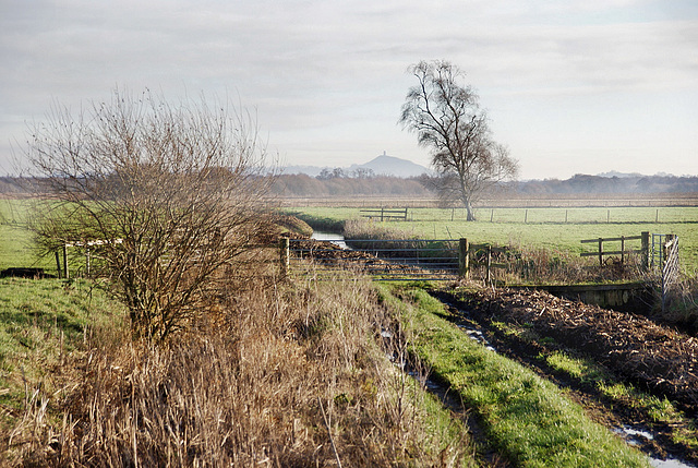
Across the Somerset Levels to Glastonbury Tor on a misty January morning,
Heath Rhyne on of the many that drain the levels runs through the image
On Black please,
A somerset link for Sight and Sound, No Ferry To Glastonbury www.youtube.com/watch?v=z91rq1aKLlg
Jump to top
RSS feed- Latest items - Subscribe to the latest items added to this album
- ipernity © 2007-2024
- Help & Contact
|
Club news
|
About ipernity
|
History |
ipernity Club & Prices |
Guide of good conduct
Donate | Group guidelines | Privacy policy | Terms of use | Statutes | In memoria -
Facebook
Twitter

