God's Spring
Looking north over Houndkirk Moor
Scarp edge of Houndkirk Hill
Summit rocks of Houndkirk Hill 1
Summit rocks of Houndkirk Hill 2
View north-east from Houndkirk Hill escarpment
Summit of Houndkirk Hill looking NE
Summit of Houndkirk Hill looking south
Summit of Houndkirk Hill looking E over Beauchief
Summit of Houndkirk Hill looking NNE
Houndkirk Hill and guidepost view north
Summit rocks of Houndkirk Edge looking NE to Hound…
Shelter on Hounkirk Moor wall 1
View north-east over Houndkirk Moor from the shelt…
Shelter on Houndkirk Moor wall 2
Seven miles to Sheffield
View west to Over Owler Tor from Houndkirk Road
View WNW to Higger Tor from Houndkirk Road
View north to Houndkirk Hill from Houndkirk Road
Site of Badger House (Oxdale Lodge) next to Houndk…
Redcar Brook clough view to ESE
Thieves Bridge over Redcar Brook 1
Thieves Bridge over Redcar Brook 2
Houndkirk Hill north-west escarpment
Houndkirk Road looking south west
View west over Limb Valley from Lady Canning's Pla…
View south east over Dore and Totley from Lady Can…
Spurn north end view SW over the Spurn Neck
Spurn east beach bank, swales and ripples 2
Spurn east beach bank, swales and ripples 1
Spurn Warren view E to wind farm
Spurn lighthouses view NE
Spurn Lower Lighthouse
Spurn High Lighthouse 3
Spurn High Lighthouse 2
Spurn High Lighthouse 1
Spurn Warren view NE
Spurn Warren view W to Grimsby
Spurn Warren view SW to lighthouses
Spurn Warren view NE
Spurn Chalk Bank view WNW to Immingham
Spurn Chalk Bank view north 2
Spurn Chalk Bank view north 1
Spurn groyne and large vessel
Spurn groyne 3
1/125 • f/5.6 • 15.0 mm • ISO 100 •
Canon EOS 600D
EF-S15-85mm f/3.5-5.6 IS USM
Location
See also...
Keywords
Authorizations, license
-
Visible by: Everyone -
All rights reserved
-
134 visits
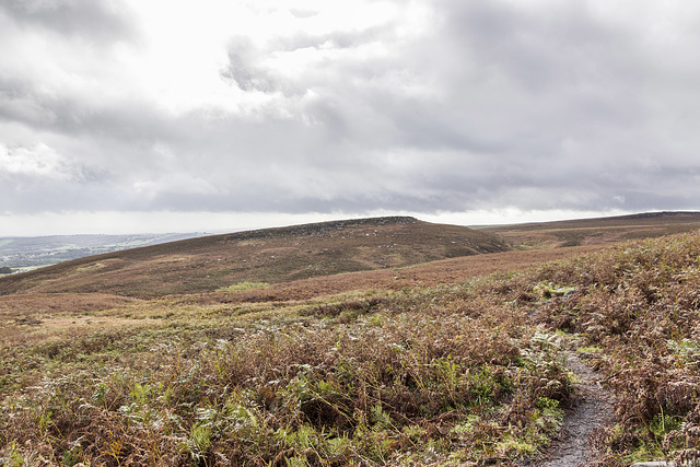
Path to Houndkirk Hill


A walk on Houndkirk Moor 5
A cool morning with frequent showers, clearing to sunshine by afternoon.
Houndkirk Hill (elevation 389 m) is a compact feature with a prominent scarp edge facing north west. The scarp edge is an outcrop of Namurian age ('Millstone Grit Series') Chatsworth Grit.
The distant scarp edge on the right skyline is informally known as Houndkirk Edge, although not named on the Ordnance Survey maps. It is composed of a lower stratigraphic bed of Chatsworth Grit.
- Keyboard shortcuts:
Jump to top
RSS feed- Latest comments - Subscribe to the comment feeds of this photo
- ipernity © 2007-2024
- Help & Contact
|
Club news
|
About ipernity
|
History |
ipernity Club & Prices |
Guide of good conduct
Donate | Group guidelines | Privacy policy | Terms of use | Statutes | In memoria -
Facebook
Twitter

Sign-in to write a comment.