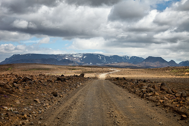
Sprengisandur
a whole lotta nothing
alone
the_bridge
we are the visitors
we are the visitors
volcano_land
moon_walking
moon_walking
cutting_road
3-some moonsheep
the cloud and the rock
wild_zone
rocky_ground
lonesome
small_we_are
Ruta 41 - moonland drive
earth's_crust
the stone and the bush
wild volcanic
nearly_fenced
snake road
Owens Lake and Sierra Nevada - 1986
Owens Lake - 1986
Death Valley - Badwater - 1986
Death Valley - Devil's Golf Course - 1986
desert - 1986
Ruta 51 - colorful geology
Ruta 51 - winding up in desert
Ischigualasto - entering valley of the moon
Valley Of The Moon
Ischigualasto - valley of the moon
Ischigualasto - valley of the moon
Ischigualasto - El Submarino
Ischigualasto - El Submarino
Ischigualasto - El Submarino
Ischigualasto - El Submarino overlook
Ischigualasto - desert
Ischigualasto - El Submarino
Ischigualasto - El Submarino
Ischigualasto - El Hongo
Ischigualasto - El Hongo
Ischigualasto - red walls
Ischigualasto - red walls
Ruta 40 - and the road.................continues
Ruta 41 - on the moon
Ruta 41 - on the moon
crashlanded
desert_road
black rock
light_stripe
lonesome_road
too steep for the sheep....
a hot and dry place......
Lefka Ori
deep down
survivors
nofriendsbush
d e s e r t
moonochrome
riding the snake
erosion
peace and loneliness
colorful rocks.......
black rock desert
Green between sand and rocks
Location
See also...
Keywords
Authorizations, license
-
Visible by: Everyone -
All rights reserved
-
1 985 visits
kaldidalur


Kaldidalur (road F550) is the second highest but shortest of the highland tracks traversing the Highlands of Iceland, therefore the nickname "highlands for beginners". Its name means "cold dale/valley". The route begins a bit to the north of Þingvellir and to the west of the volcano Skjaldbreiður, which means broad shield. The track continues between the glaciers Þórisjökull and Ok and leads up to the north. To the east of Reykholt it comes near the Reykholtsdalur to Húsafell. Then it continues up to Hvammstangi at Miðfjörður.
, , Michel Beauvisage, and 8 other people have particularly liked this photo
- Keyboard shortcuts:
Jump to top
RSS feed- Latest comments - Subscribe to the comment feeds of this photo
- ipernity © 2007-2024
- Help & Contact
|
Club news
|
About ipernity
|
History |
ipernity Club & Prices |
Guide of good conduct
Donate | Group guidelines | Privacy policy | Terms of use | Statutes | In memoria -
Facebook
Twitter

Seen in 10+ Faves
Sign-in to write a comment.